The West Highland Way & Ben Nevis Challenge
7 days, 106 miles (170km), 1 journey. The West Highland Way & Ben Nevis is a must-do for anyone seeking adventure in the Scottish Highlands.
The West Highland Way has been dubbed by some as one of the best walks in the world. Prior to completing it, I had seen a little bit of the Scottish Highlands, completing a 2 trip through the Isle of Skye & Cairngorms National Park. However, the West Highland Way (WHW) & Ben Nevis challenge showcased a whole other side of Scotland that I hadn't seen before. One that you can get well acquainted with as you complete 96 miles (+10 more miles if you do Ben Nevis) on foot. This blog will provide you with some snippets of the 7-day hike I completed, and give the WHW the credit it deserves.
The below map shows the start / end points for each day of hiking we completed, to give you a visual indication of the journey as well as the hostels we stayed at:
Who did you do this with?
Desi Ramblers are a local hiking group founded in 2014, and since then have organised a variety of hikes over the years. They've grown from a handful to quite a large group of walkers, and since starting have raised over £300,000 for charity. They were the ones organising all the training walks, as well as leading on the trek itself - a massive thanks to all those involved, including the logistics and catering teams. You can find out more about them here: Desi Ramblers 🥾
Day 1 - Milngavie to Milarrochy Bay
- Distance = 21.4 miles
- Elevation gain = 519ft
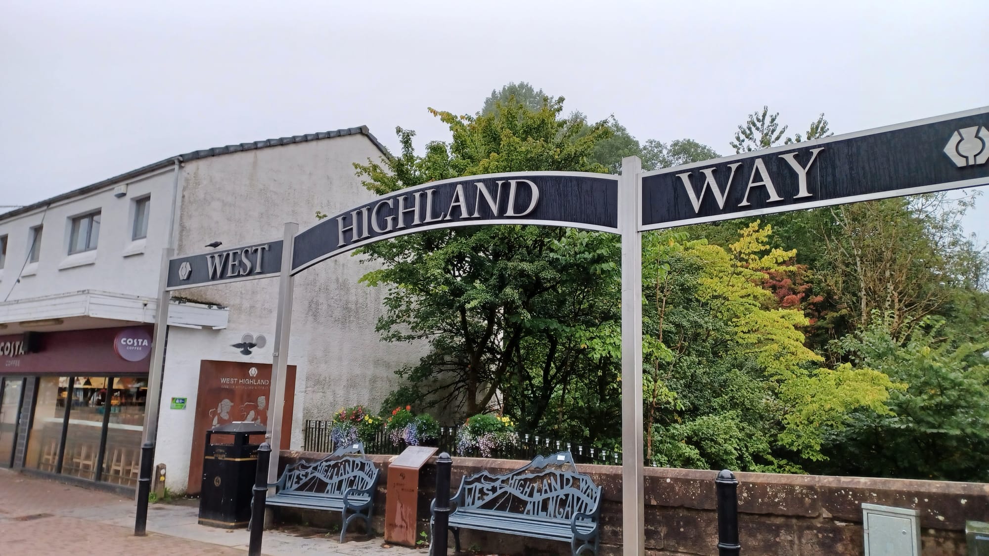
The day after the long drive from London and staying the night in Glasgow, day 1 saw us begin the West Highland Way from it's southern end point in Milngavie (pronounced Mul-guy). Most people walk the WHW from south to north, and we were no exception. This is because the scenery gets more dramatic and wild as you work your way towards Fort William.
Our trip had been planned such that we would walk the length of Loch Lomond by the end of day 2. That meant day 1 had the largest mileage of the entire trip to set us up for success, and saw us cover 21.4 miles. As you leave the town of Milngavie the route is mainly countryside walking - flat and through large fields of farmland (and the odd distillery! 🥃). The Scottish lowlands also included some wooded areas. This was very similar in feel to the training hikes I had done in the Chilterns National Landscape.
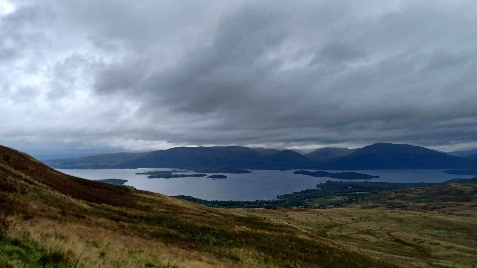
The elevation peaked at Conic Hill ⛰️(519ft), where we got our first glimpse of Loch Lomond, and then the path descended down towards this huge body of water. Day 1 finished with walking past the town of Balmaha and some of Loch Lomond, before finishing at Milarrochy.
Arriving at the hostel after 8-10 hours on our feet, the evening was filled with nursing sore legs, enjoying some delicious food prepared by our catering team and sharing stories from day 1. It turns out that this post-hike routine would become the norm throughout the week.
Day 2 - Milarrochy Bay to Beinglas Campsite
- Distance = 20 miles
- Elevation gain = 440 ft
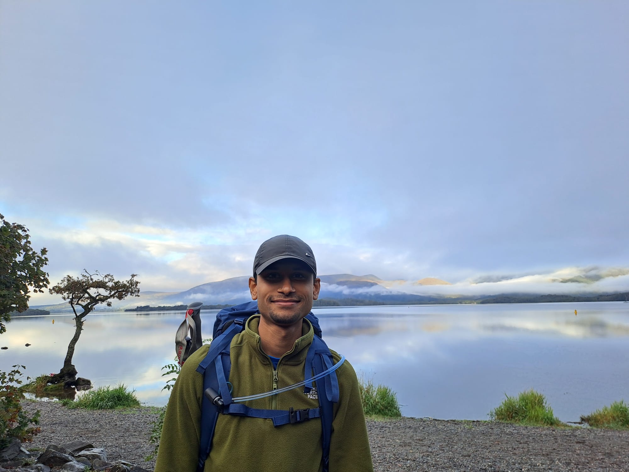
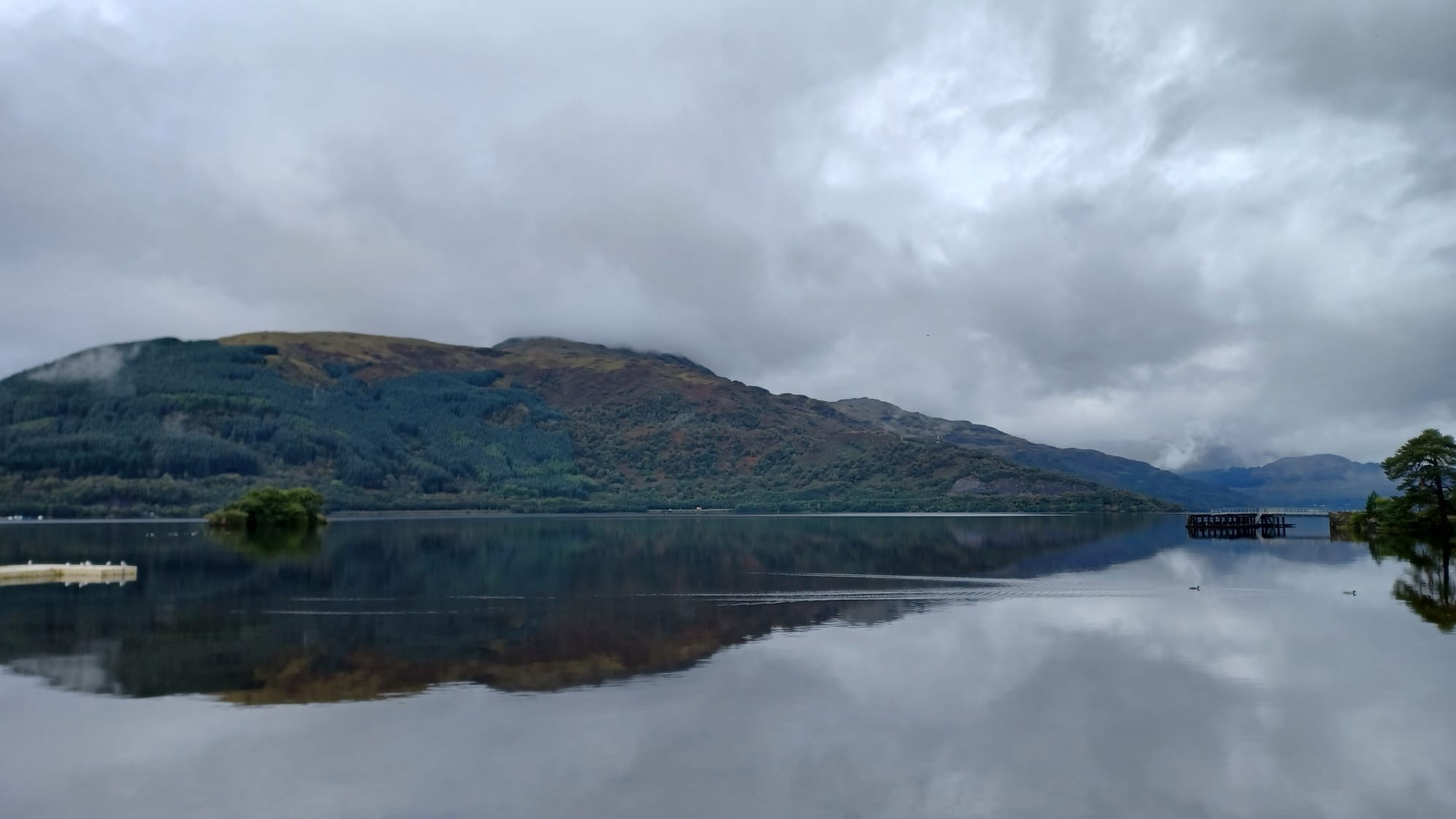
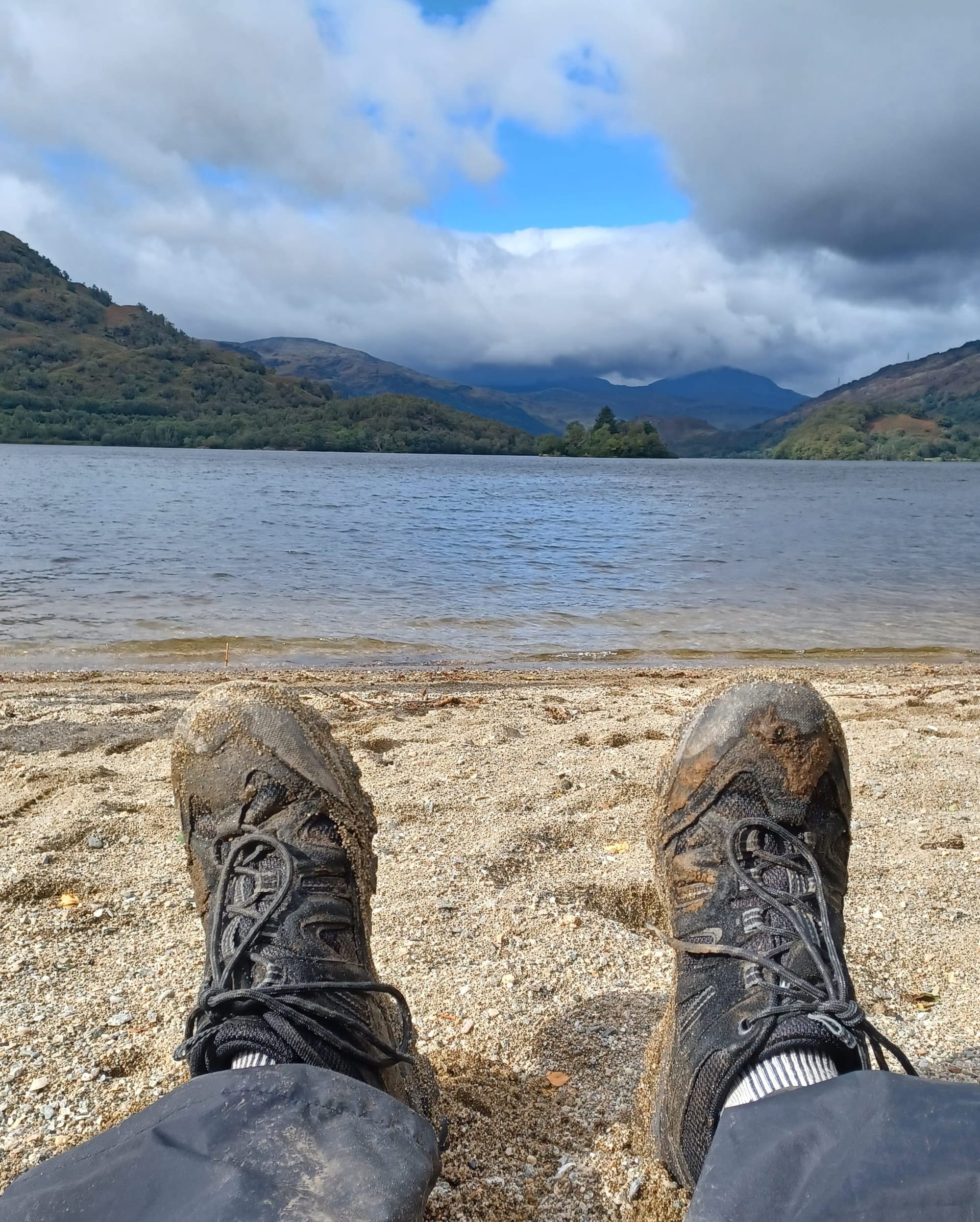
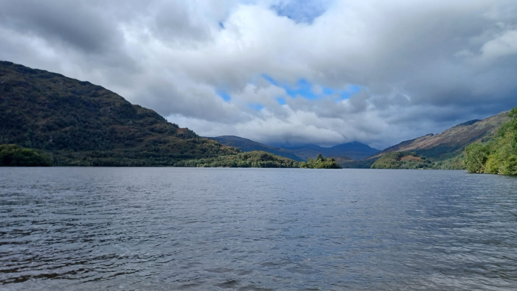
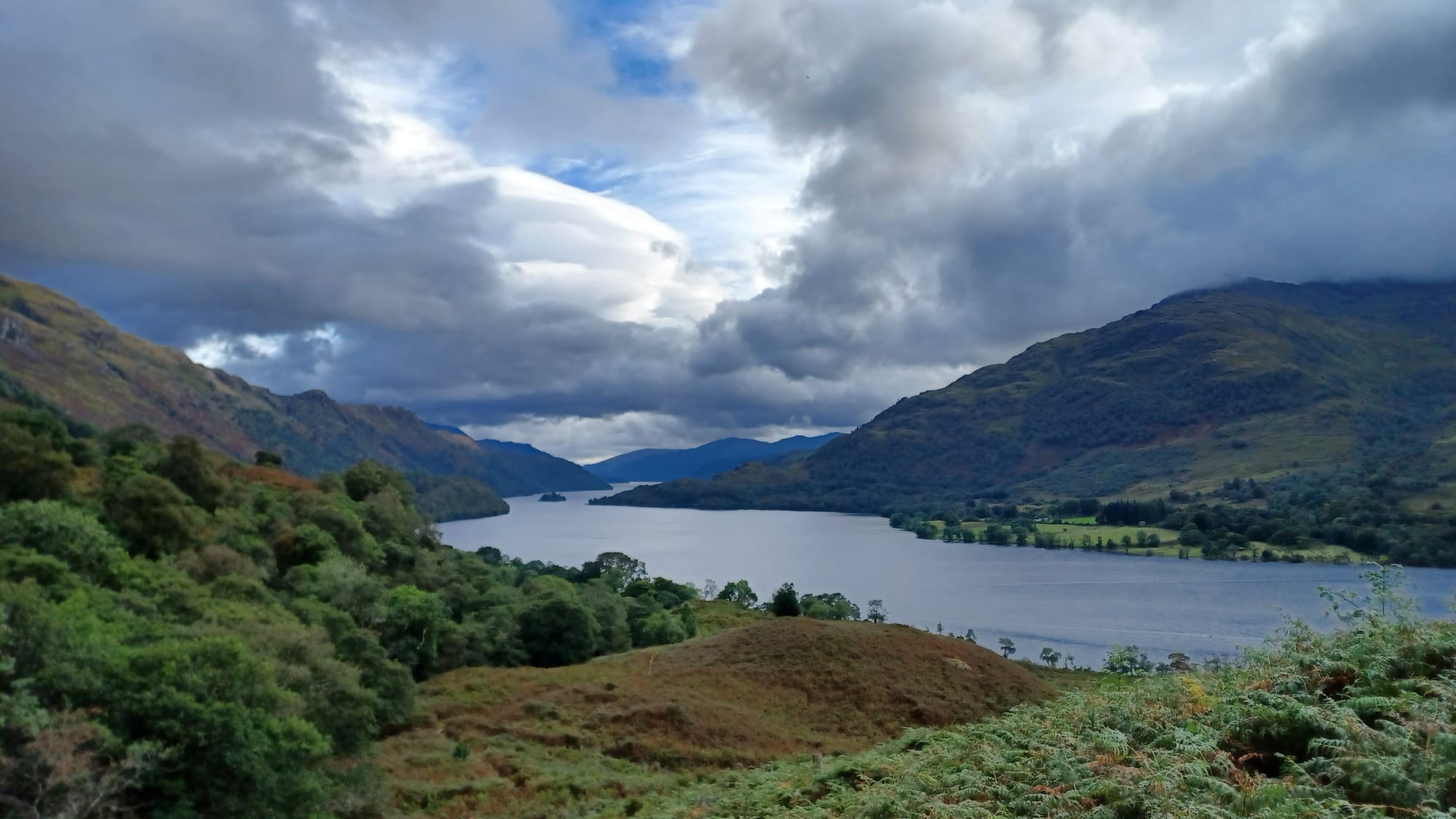
Day 2 was the toughest day in the week for me. The distance wasn't so much the problem, more the terrain that the 20 miles went over. Day 2 was about walking the entire length of Loch Lomond 🌊, finishing at Beinglas Campsite. What I remember about this section of the WHW is it can be split into 3 distinct sections:
- First 7 miles from Milarrochy Bay to Rowardennan Lodge - easygoing and similar to day 1.
- Next 6 miles from Rowardennan Lodge to Inversnaid Hotel - getting a little trickier, but still options to join a main road in case of emergency.
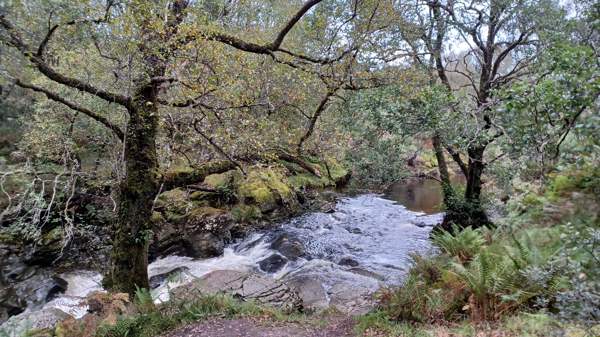
- Final 7 miles from Inversnaid Hotel to Beinglas Campsite - tough with no cut-off option. To your left you'll have Loch Lomond, and to your right you will have forest. There's many tree routes, waterfalls, rocks and dirt tracks to navigate, so extra care had to be taken with our footing. These 7 miles generally felt a lot longer, especially on not-so-fresh legs 😓.
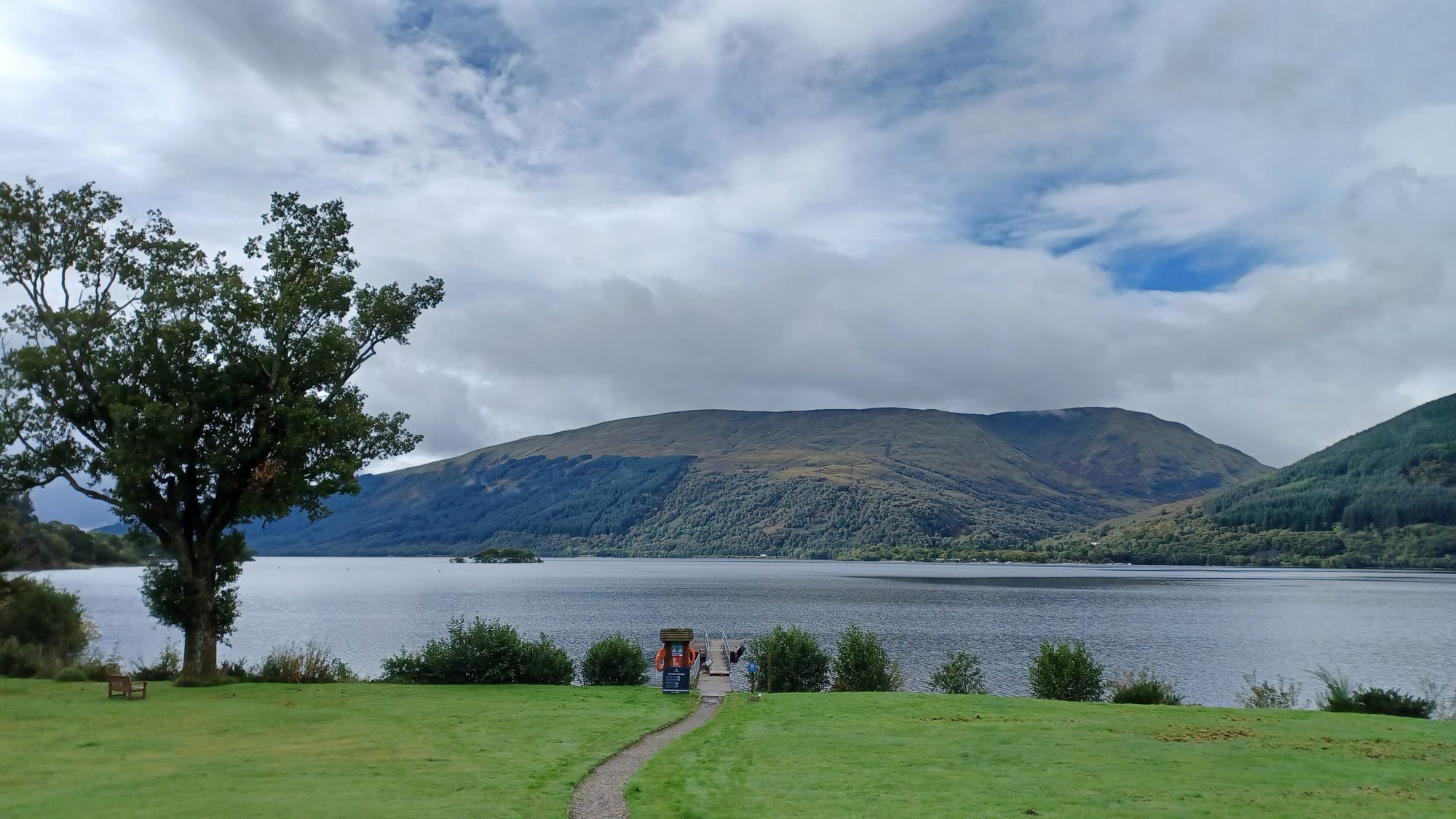
Once reaching the other end of Loch Lomond, do take a moment to turn back and see just how far along the rugged shoreline you've come - you'll be amazed! There's some nice beaches by the waterside where you can grab pictures of Loch Lomond, as from day 3 onwards you'll begin your journey into the Scottish Highlands...
Day 3 - Beinglas Campsite to A82 past Tyndrum
- Distance = 14.1 miles
- Elevation gain = 1,050ft
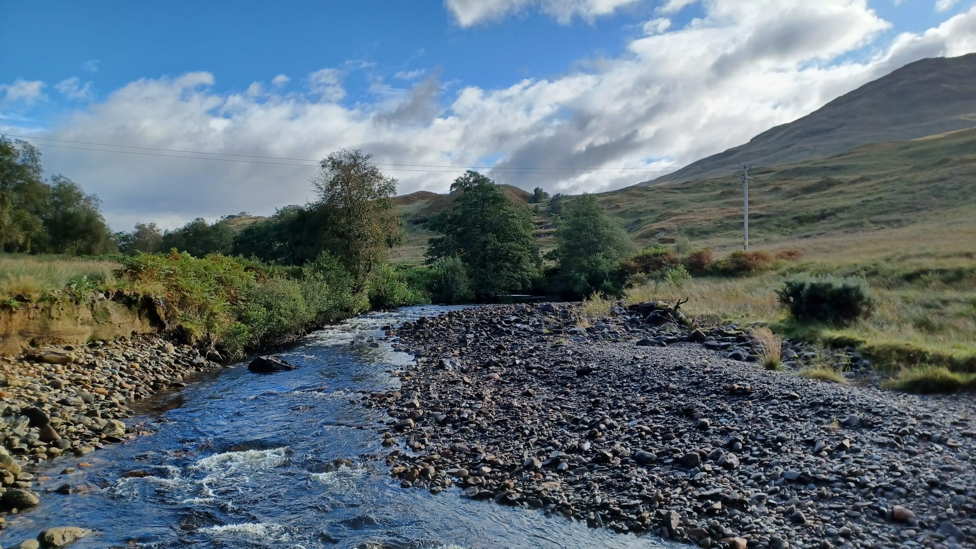
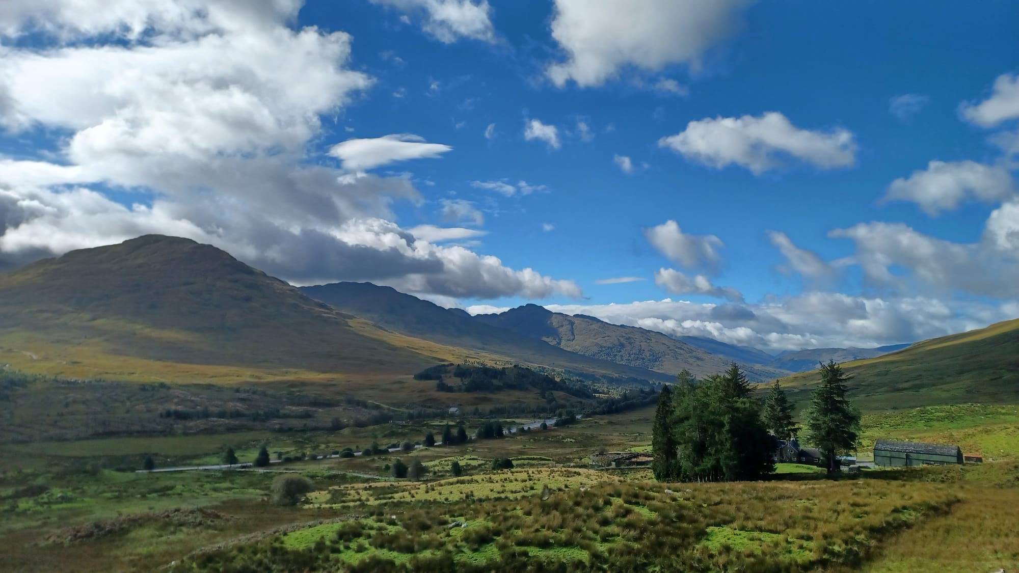
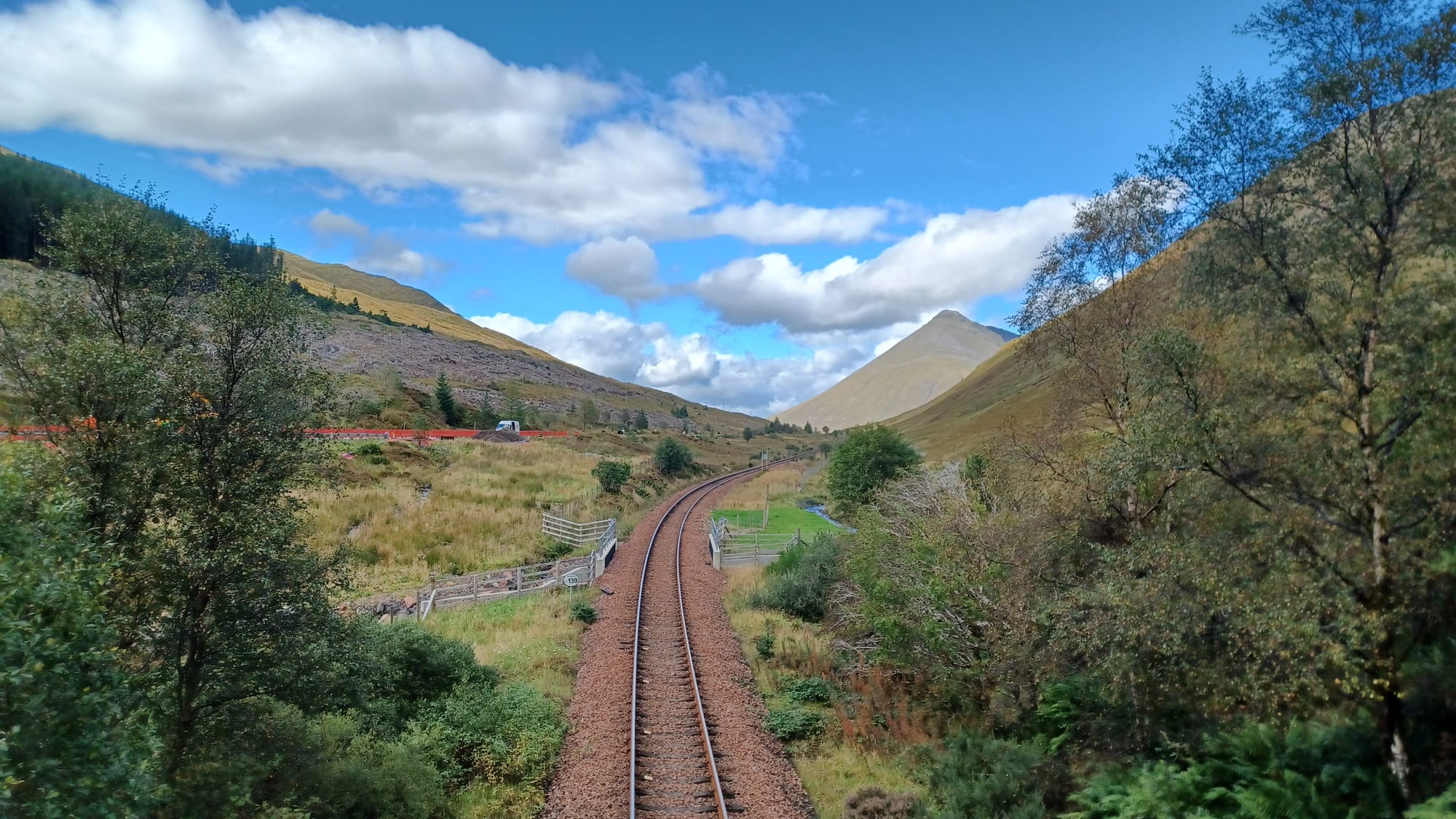
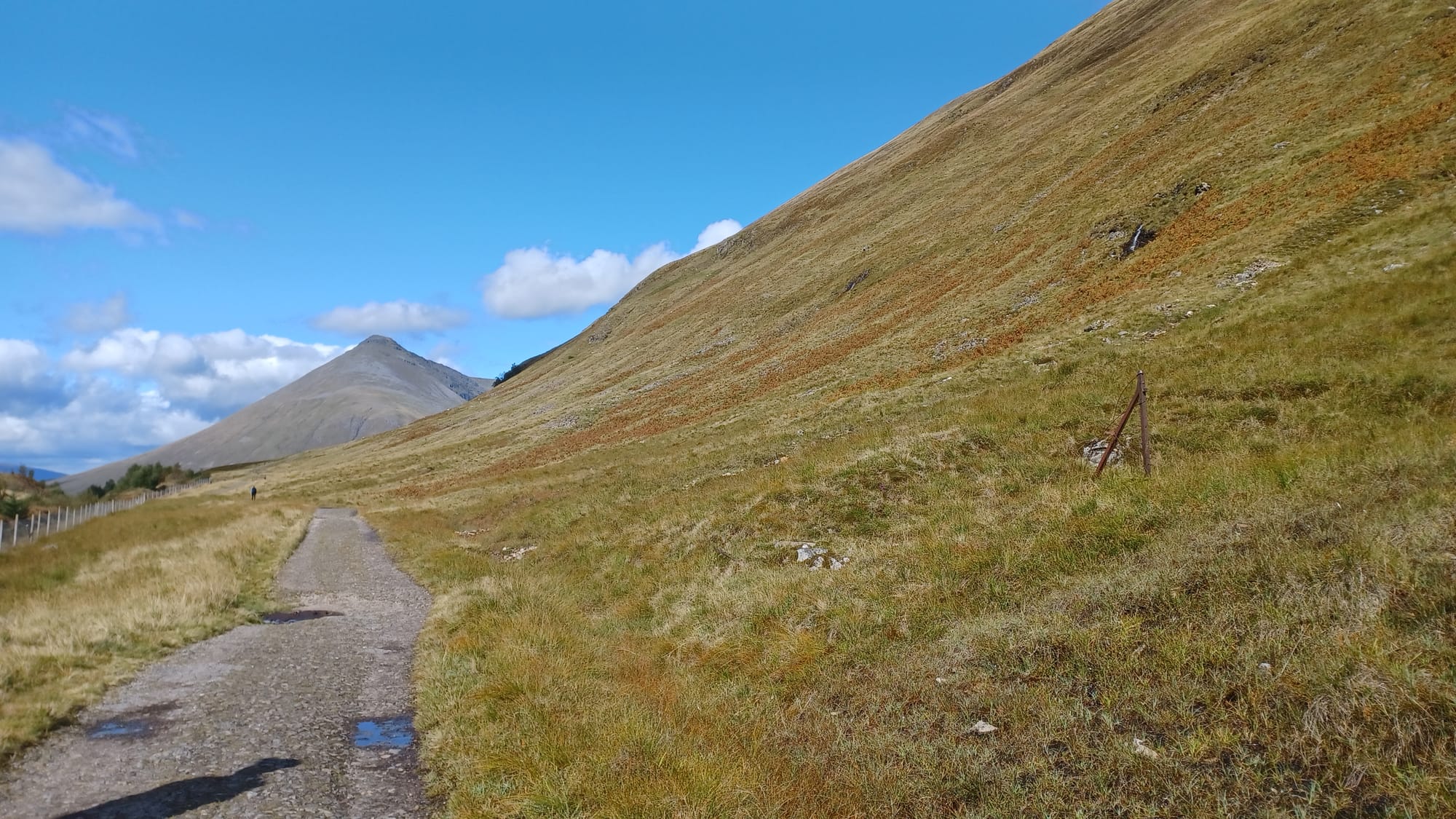
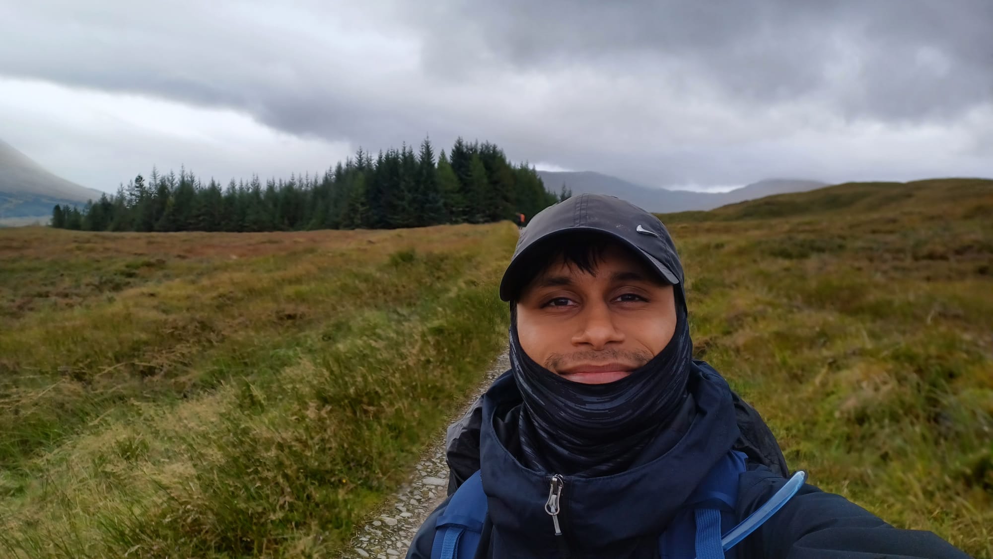
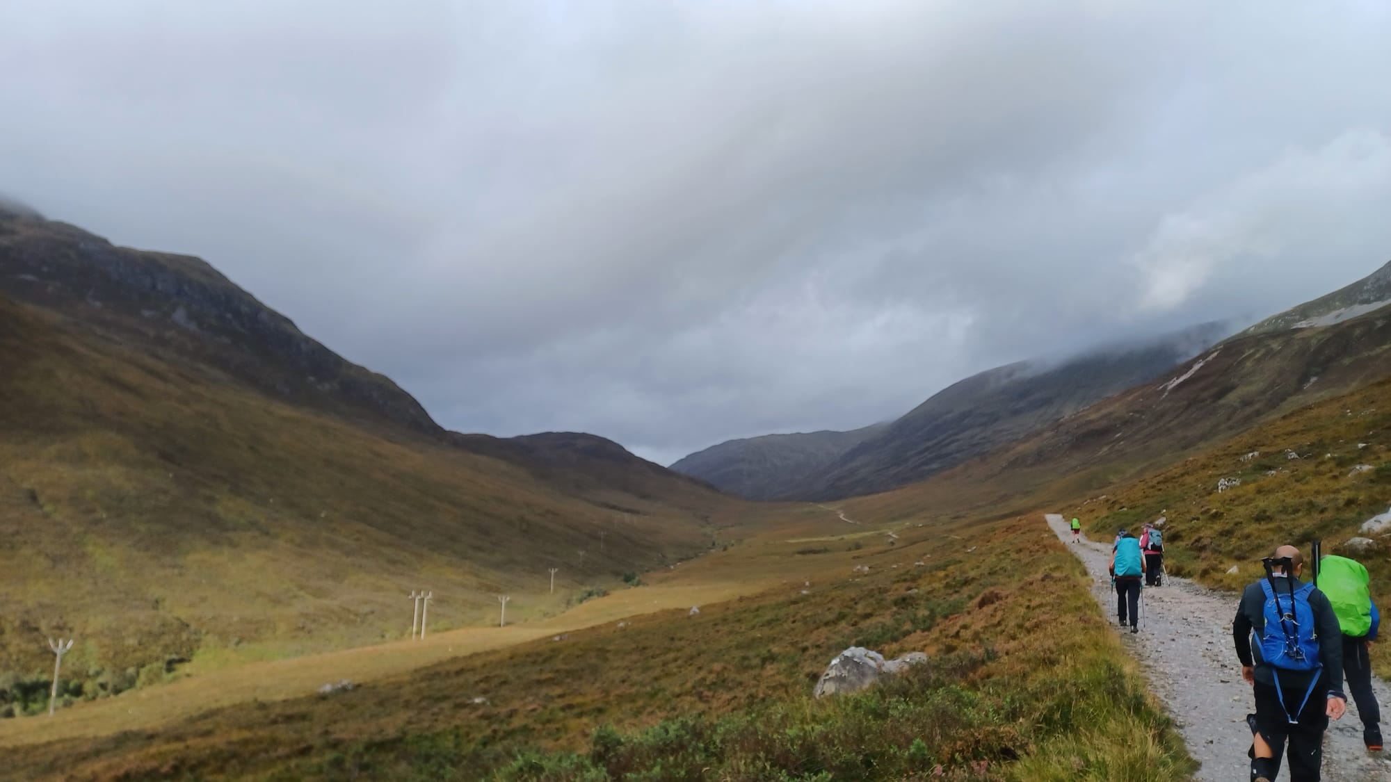
Compared to day 2, you'll find this relatively easy going as you climb higher into the Trossachs. There is a gradual incline until the halfway, after which it levels off. Our support vehicle picked us up at a layby option along the A82, just past the town of Tyndrum. Day 3 was really when I started to notice the scenery change - more mountainous and valley-like, typical of what you would see if you Googled 'the Scottish Highlands'.
Whilst after day 1 & 2 you'll have covered 41 miles (almost half of the WHW!), remember that there are still 4 more days of the trail left. Being able to recover quickly and complete consecutive day-hikes is really important, so try to build 'double header' walks into your training (i.e., walking on both Saturday and Sunday to simulate this) 💪.
Day 4 - A82 past Tyndrum to Glencoe Ski Centre
- Distance = 15.8 miles
- Elevation gain = 584 ft
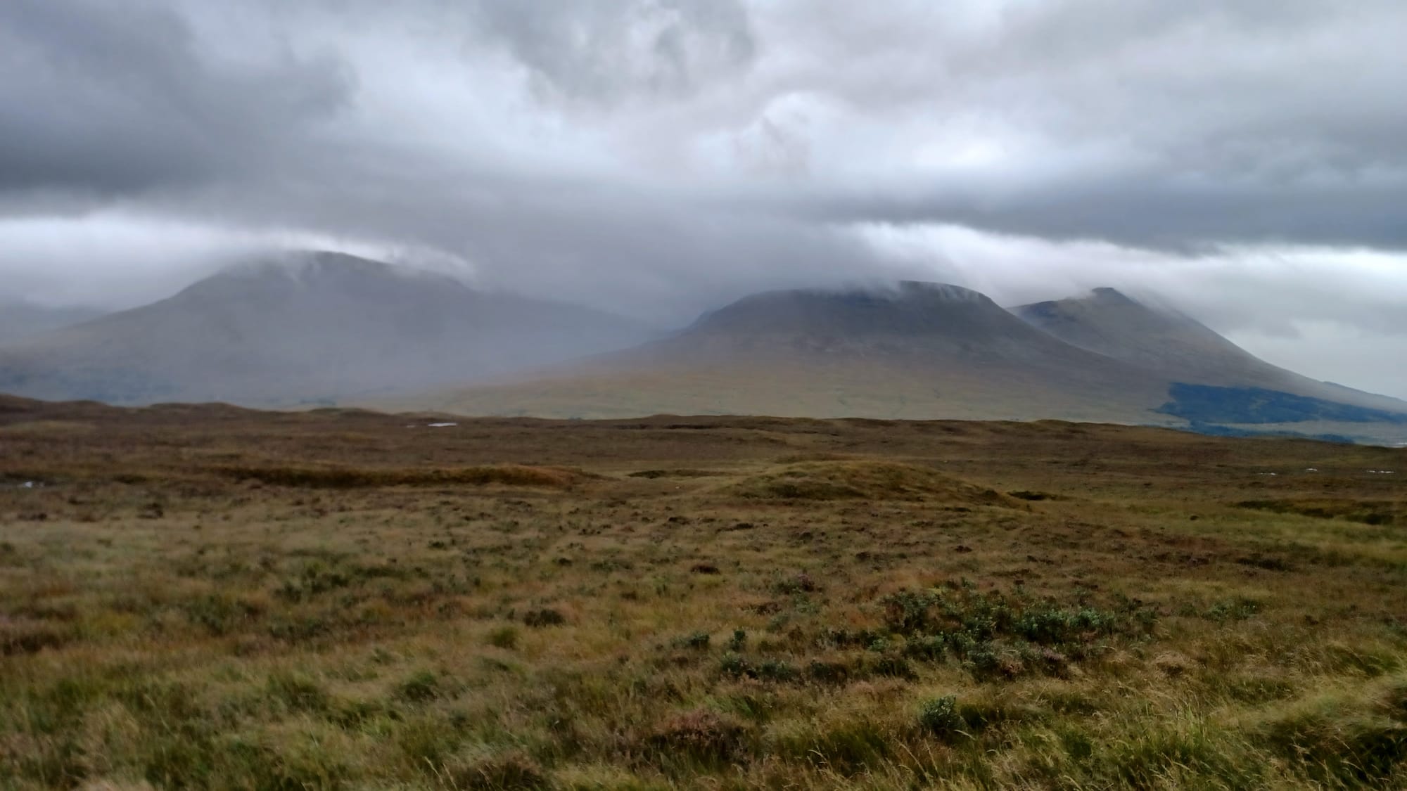
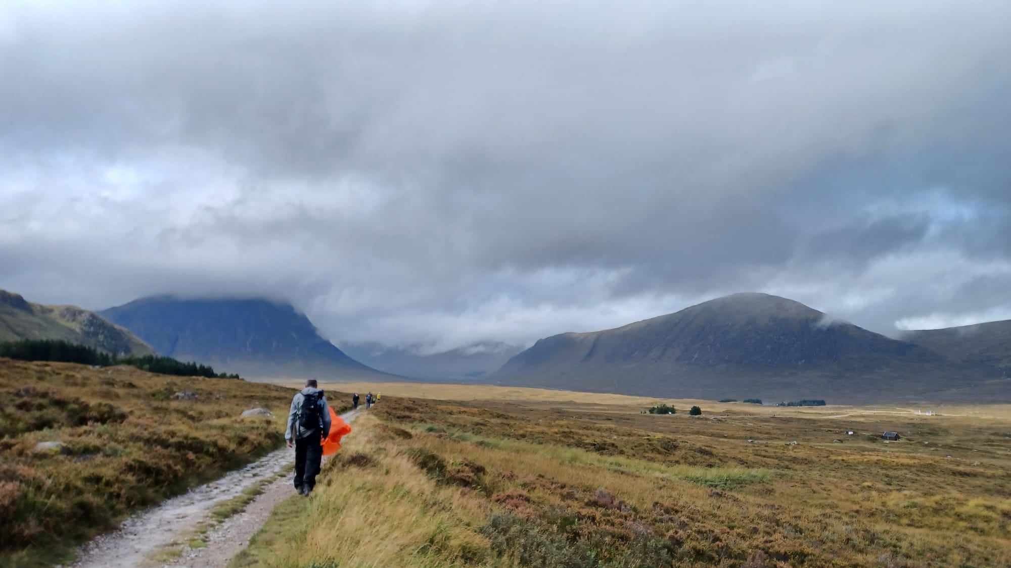
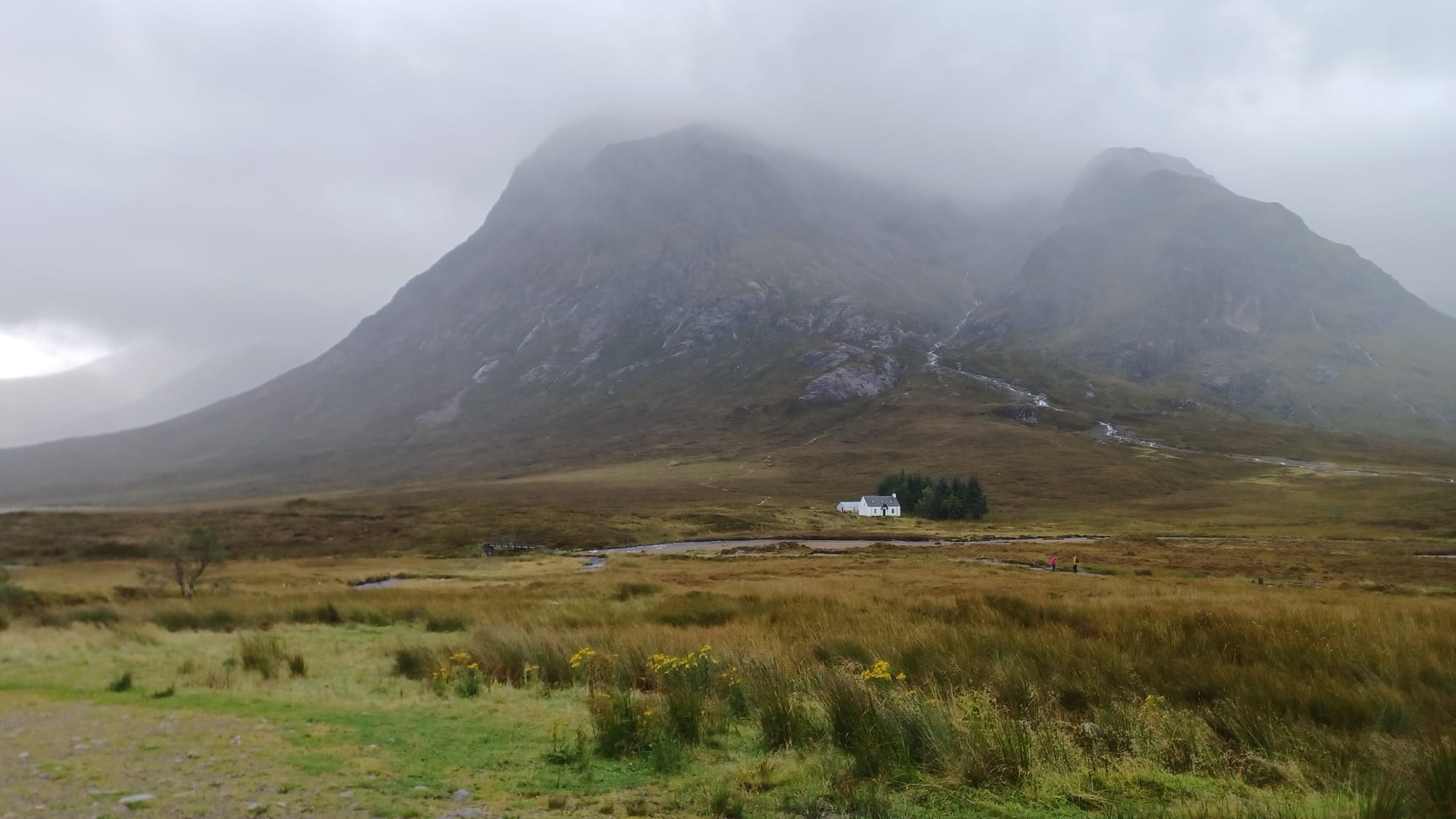
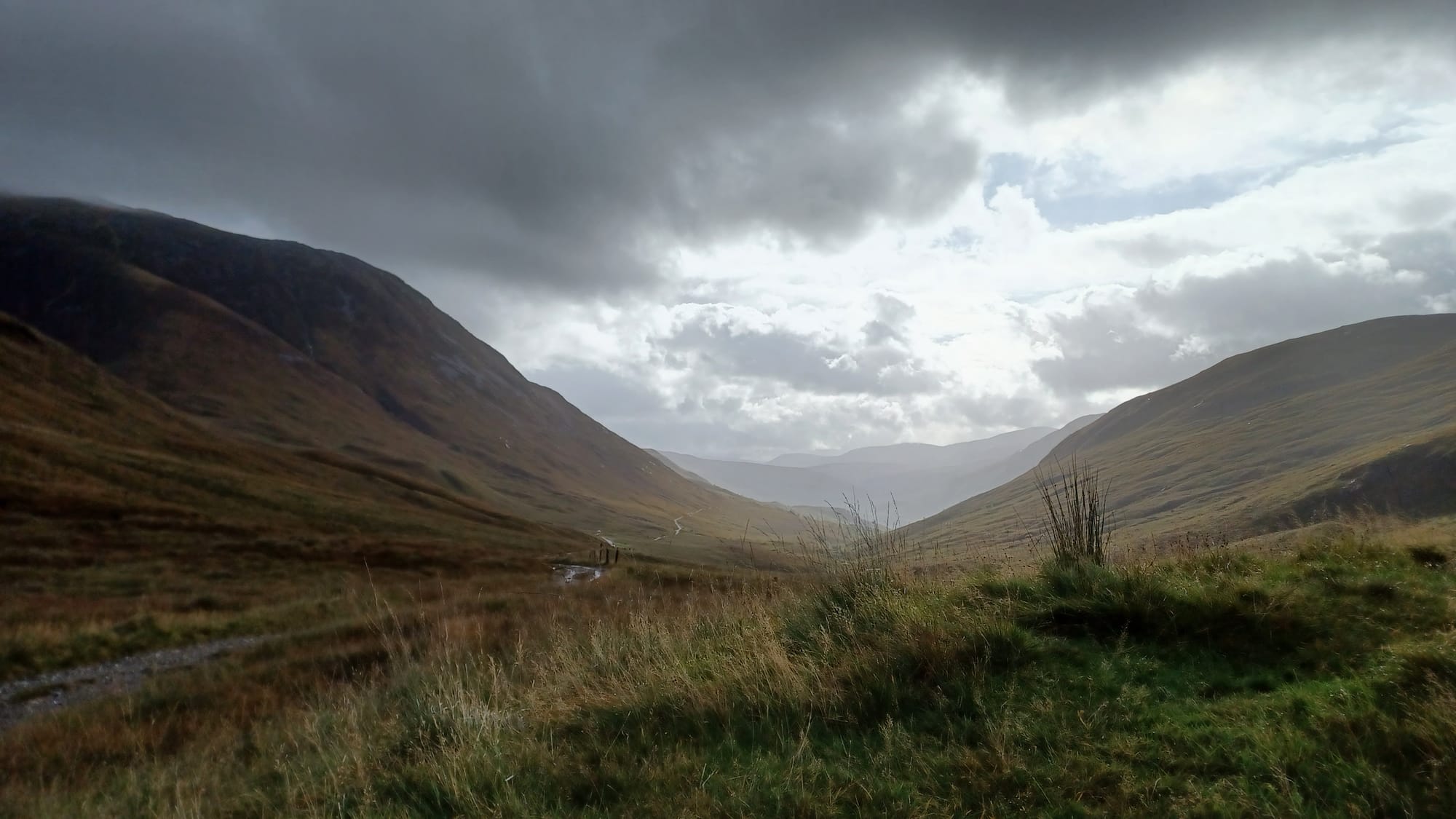
Day 4 took in the Grampian range and the highlands in all it's beauty. It was also the day we traversed Rannoch Moor, a vast 50 square mile expanse of boggy moorland to the west of Loch Rannoch. During this section, you really do feel cut off from society and the rest of the world, and I loved it! I felt very present with nature, and the walking wasn't too hard going either.
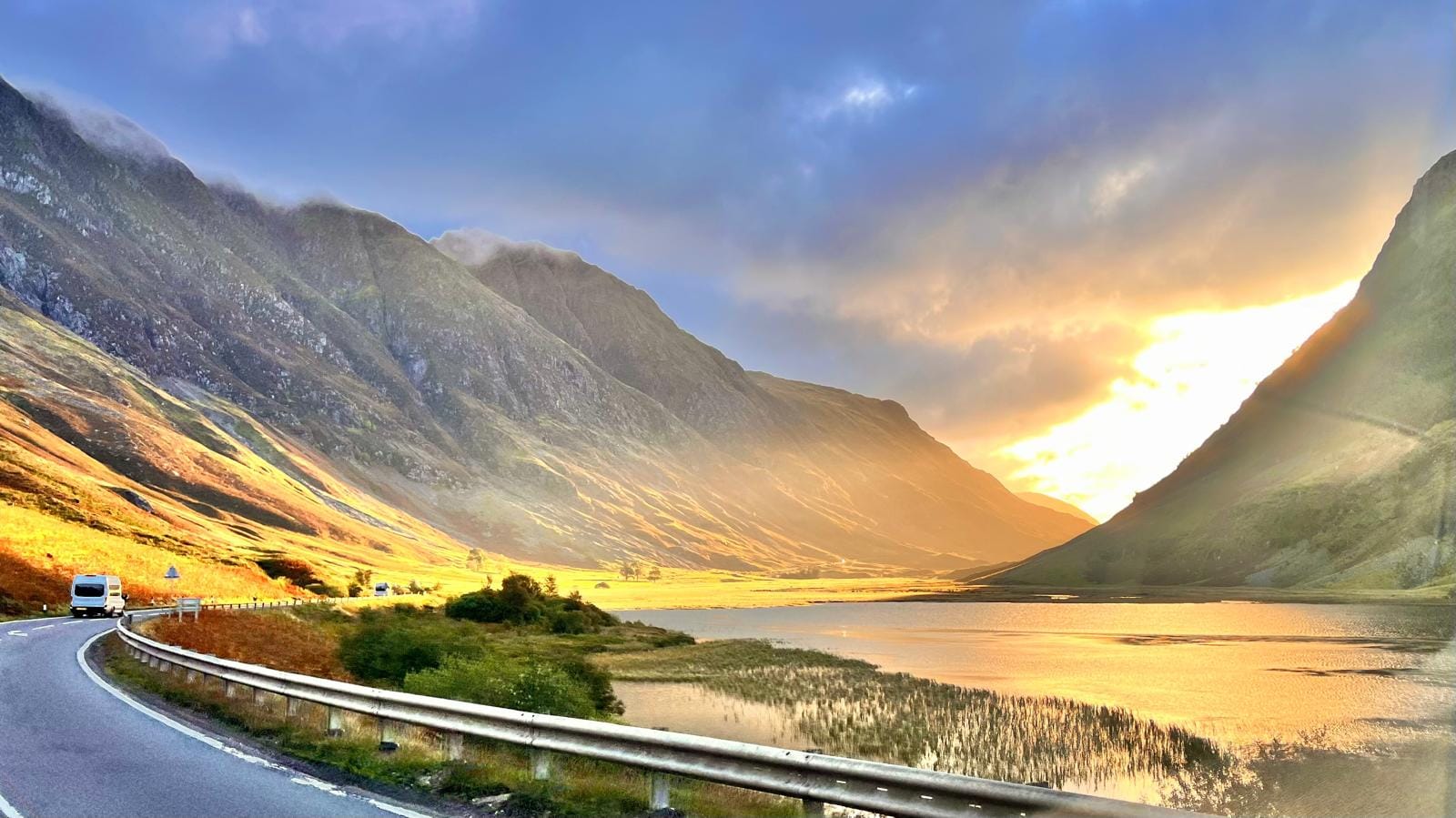
The recognisable Glen Coe valley started appearing towards the end of the hike, with the final section of the walk taking us to Glencoe Ski Centre. In summer, the centre acts as a great place to stop for a coffee or bite to eat, with ample parking and brilliant views across the valley. From what I recall, the walk on day 4 was relatively easy going, with a lot of it on gravel paths (as opposed to dirt tracks and across tree roots).
Day 5 - Glencoe Ski Centre to Kinlochleven
- Distance = 10.3 miles
- Elevation gain = 1765 ft
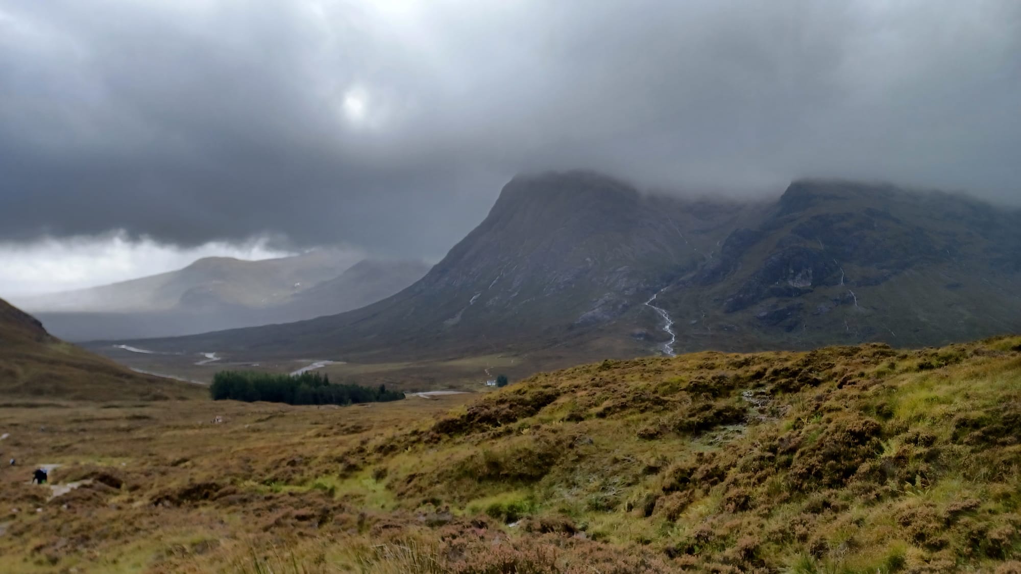
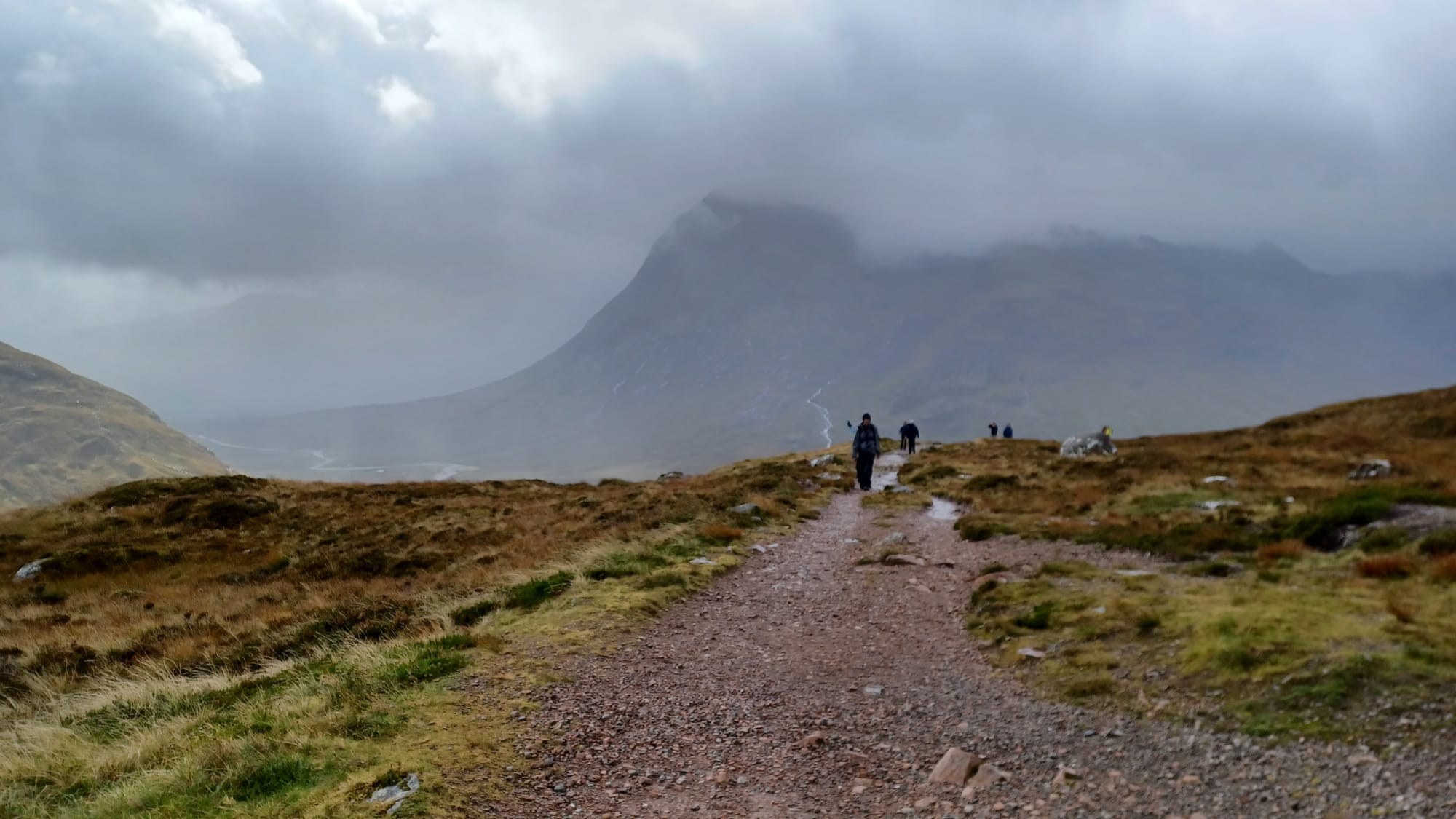
We started the day where we previously left of (like all the other days). Unfortunately, as soon as we got out of the minibus we were hit with windy weather and heavy rain 🌧️. Waterproofs went on immediately, as we battled the horizontal rain that was hitting us square on through the valley. This meant that I didn't appreciate the views of Glencoe as much as I would have liked, but thankfully the rain held up as we arrived at the Devil's Staircase 👹 (not as scary as it sounds!) This path will take you up one side of the valley over a mountain, and acts as part of the route to Kinlochleven. The route is well marked out and hard to miss.
Now time for a quick history lesson on the Devil's Staircase. Originally, it was used as a drove road - little more than a dirt track for people to heard cattle quickly to the next settlement 🐂, rather than having to follow the winding path of the valley. Much further down the line in the 18th Century, the British Parliament felt the Scottish Highlands needed to be patrolled to keep an eye on rebels, and so a network of 'military roads' were constructed 🪖 - the Devil's Staircase being part of it that connected Tyndrum in the south to Fort William in the north.
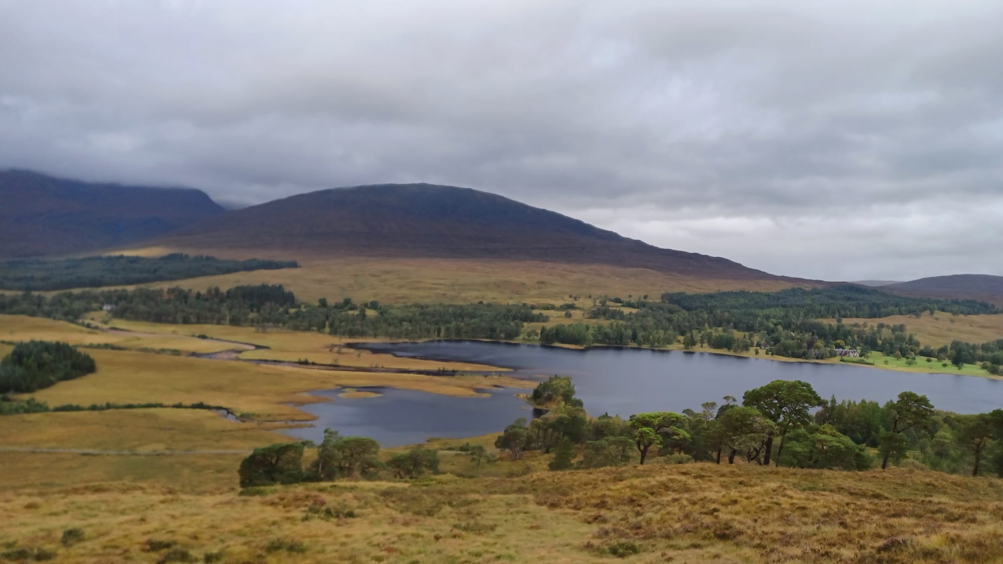
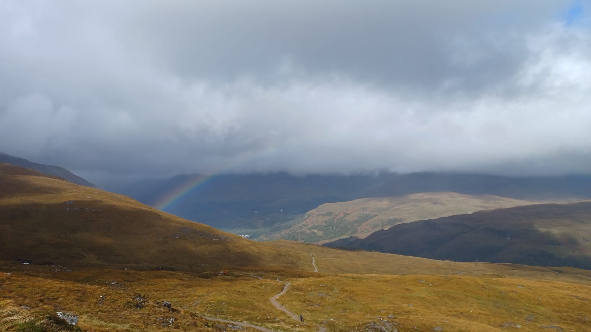
Upon reaching the top of the staircase, you will be at an elevation of 1808 ft and get some awesome views. From this point onwards until your reach Kinlochleven, it is a gradual decline. You will pass Blackwater Reservoir & Dam as well as the hydroelectric plant upon arrival at the town of Kinlochleven.
Day 6 - Kinlochleven to Fort William
- Distance = 15.2 miles
- Elevation gain = 1066 ft
The last day of the WHW! From Kinlochleven there is an initial ascent, before long stretch of flat trail. The second half of today reintroduced some of the rolling hills and forest I saw that the start of the WHW journey, before descending into Fort William. Note that just before you get into Fort William, there is an option to take the high road (literally) into the town, rather than using the official WHW route that runs along a road. We took the high road as it was still trail (rather than tarmac), and was quieter to use. Shortly after passing Glen Nevis Campsite, you will be back in civilization, and complete your final steps along Fort William high street before reaching the official end of the West Highland Way! 🥳🙌
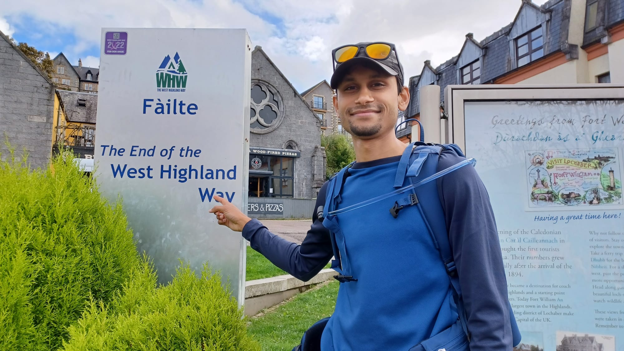
Recalling the feeling of reaching the end point, it was one of relief, emotion and pride. It's not about the destination, it's about the journey - would be the best quote to describe it. The past 6 days were an absolute adventure, filled with a huge variety of scenery, all weather conditions and physically / mentally testing. There were plenty of celebrations with my hiking group that evening. However, in the back of everyone's mind, a final challenge awaited...Ben Nevis 👀.
Day 7 - Ben Nevis
- Distance = 10.5 miles
- Elevation gain = 4,300 ft
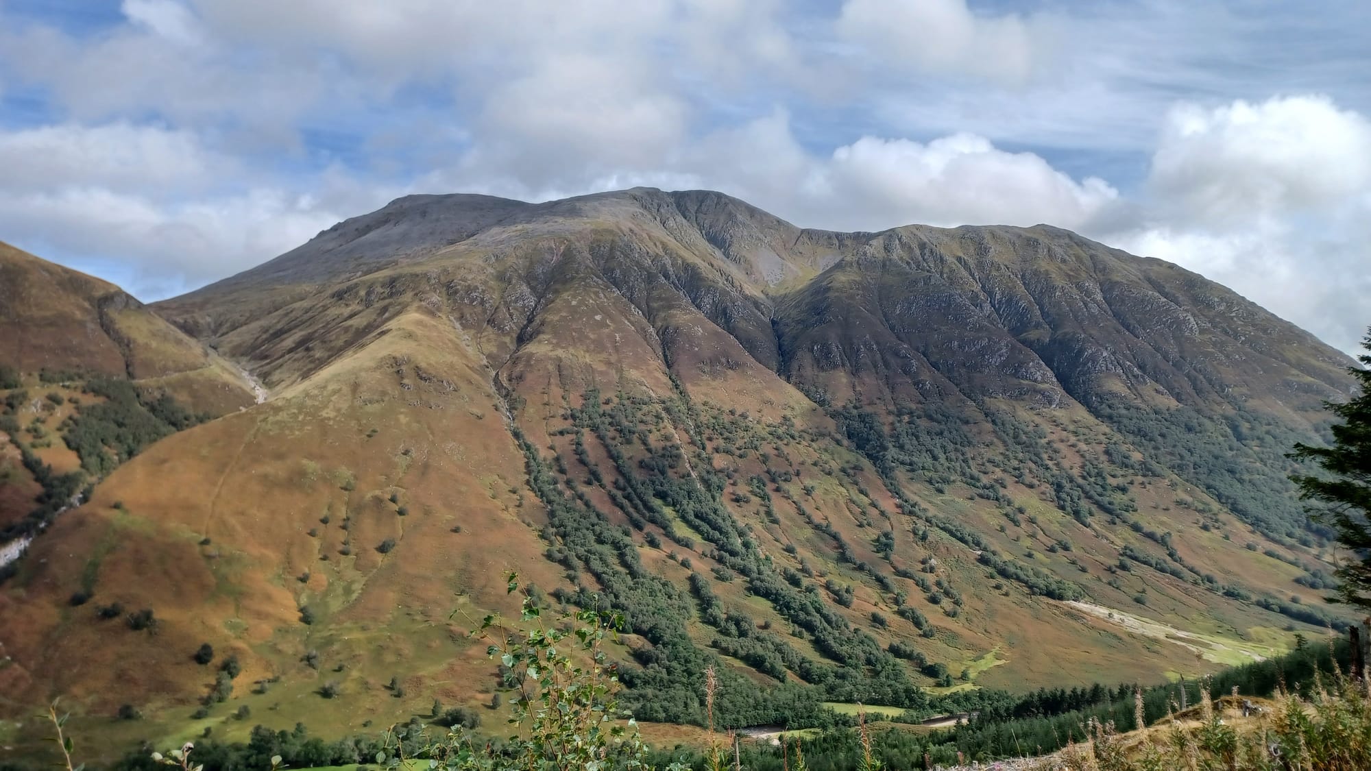
⛰️ Ben Nevis is the highest mountain in Scotland, the UK and the British Isles. Weather permitting, the plan was to climb it the day after finishing the WHW. Thankfully, the weather gods were kind to us and conditions looked favourable for an ascent. In terms of the route, there are a few options, some starting in Fort William Town Centre, whilst others start just outside of the Glen Nevis Youth Hostel. We took the latter, and this route would be the same one we used to come down from the top.
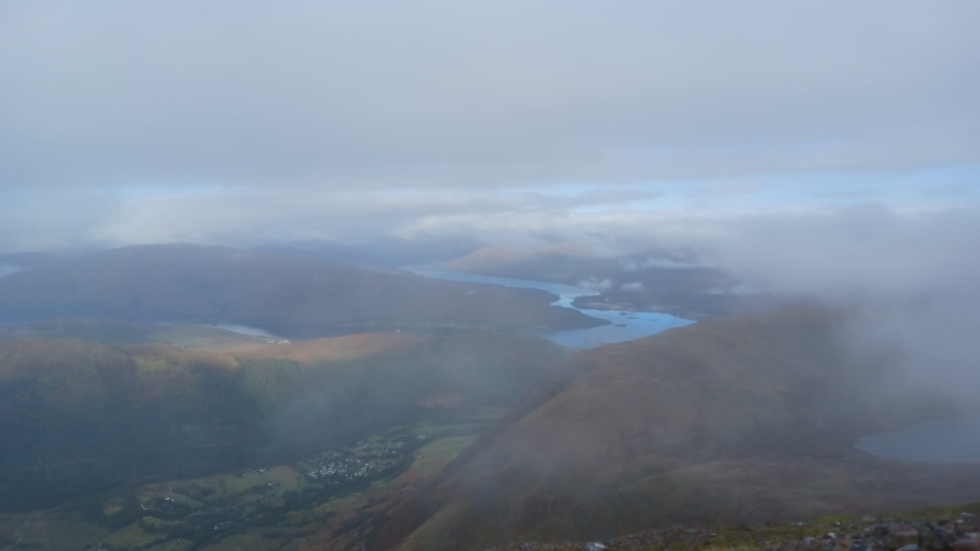
The route up to the top is a combination of paths, trails and rocks, getting more rugged as you reach the summit. The weather is very unpredictable, so pack for all weather conditions. It will be cold at the top too ❄️, so layer up just before you complete the final ascent. Once we arrived at the top, we were in the middle of a cloud so didn't get any great views, yet it was satisfying to know you're standing at the tallest point in the UK!
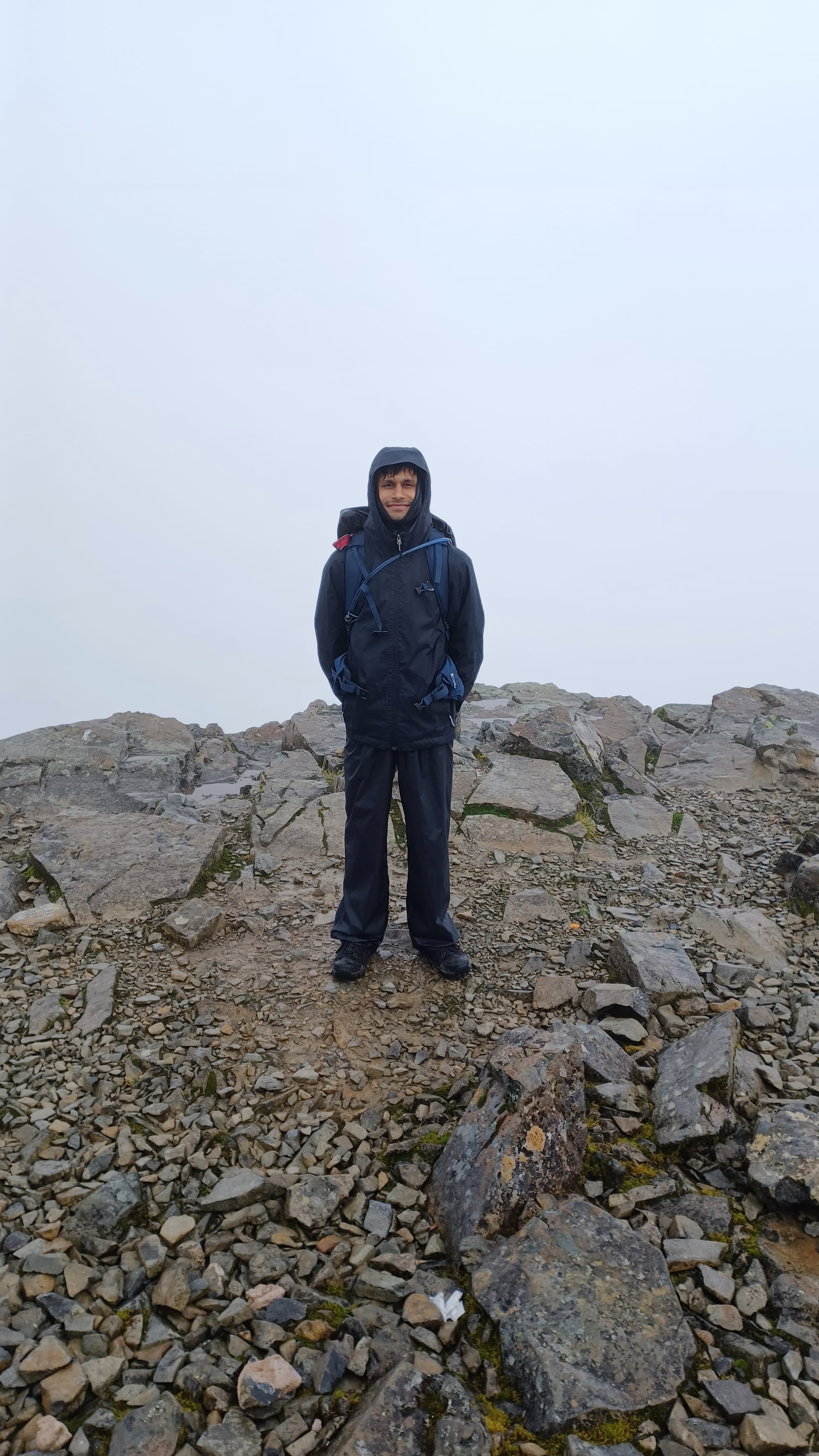
The way down was tougher on the legs, primarily due to rain causing rocks to be super slippery. Proceed with caution, as I had 2 small falls (nothing serious) on some slipper rock faces. If you do get rain, I recommend taking the route down that takes you to Fort William Town Centre rather than to the Youth Hostel, as it's easier. If climbing Ben Nevis in a group, at the top make sure to stay relatively close to one another, as fog can make visibility pretty poor (~10 metres ish) 🌁.
Kit list, fuel and training
Below are some of my thoughts on how best to prepare for a trek like this. It was my first time ever completing such a challenge, so I learnt a lot along the way myself. Some of the key lessons that stuck with me are:
- 🥾Invest in proper hiking gear - shoes (super important), socks etc., you name it. Having the right gear will make your adventure far more enjoyable.
- 💧Use a water bladder to stay hydrated - one that slots into a hiking backpack and allows easy sipping on water.
- 🍽️Eat something every hour on the hike, and pack electrolytes - it's not just water you'll be sweating out, you'll be burning a huge amount of calories and depleting your salt stores. Don't worry about watching what you eat this week - you're going to need the energy!
- 👍Try all your kit on training walks - to get used to how it feels and what works best for you.
- 📓Experiment on your training hikes, but during the trek stick to the plan - don't try anything new once you're in Scotland. By then it's already too late!
- 🏥If you feel a blister coming on, tape it up immediately. Don't wait for it to become painful.
- 👣Practice 'double header' hikes in training - where you hike for 2 days consecutively, to simulate a multi-day hike.
- 🩹Pack a small first aid kit in your day pack.
- 🌦️Ensure anything you don't want getting wet is in waterproof 'dry bags' within your rucksack.
- 😴If staying in hostels, an eye mask and some ear plugs will help you get a much better nights sleep.
- 🧤Clothing wise, wear many thin layers as opposed to one thick layer - allows for more customised layering / delayering.
- 🧦A 'buff' is a great clothing accessory that can be used as a mask / headband to keep you warm. I used mine far more than I thought I would.
- 🏋️Supplement your training hikes with some lower body / core strength sessions in the gym.
- On that note, the 'stairmaster' in the gym was an excellent way to get used to inclines. After doing some sessions on this, I found walking up hills far easier.
And with that concludes my recollection of the West Highland Way & Ben Nevis Challenge! A trip that I won't be forgetting anytime soon, with core memories being made with a brilliant group of people. What I've discussed in this blog has been focussed more on the practical / logistical side of things, with a few anecdotes sprinkled in. The pictures probably speak louder than my words!
🔢 Final stats for the trip were:
- Hiking days: 7
- Distance 🥾: 107 miles
- Elevation change📈📉: 9,724 ft
Thanks for reading, and I hope that some of you have been inspired to explore the Scottish Highlands 😊